Rock of Gibraltar
11/9/15 • Written by Nancy
The Rock of Gibraltar looms little in my memory bank, mainly in the form of a commercial logo. You know it:
Prudential logo of the Rock of Gibraltar - credit simple-logo.com
So what a wonder it was to see that it's way bigger than I supposed. Oh by the way, it isn't altogether shaped like this logo.
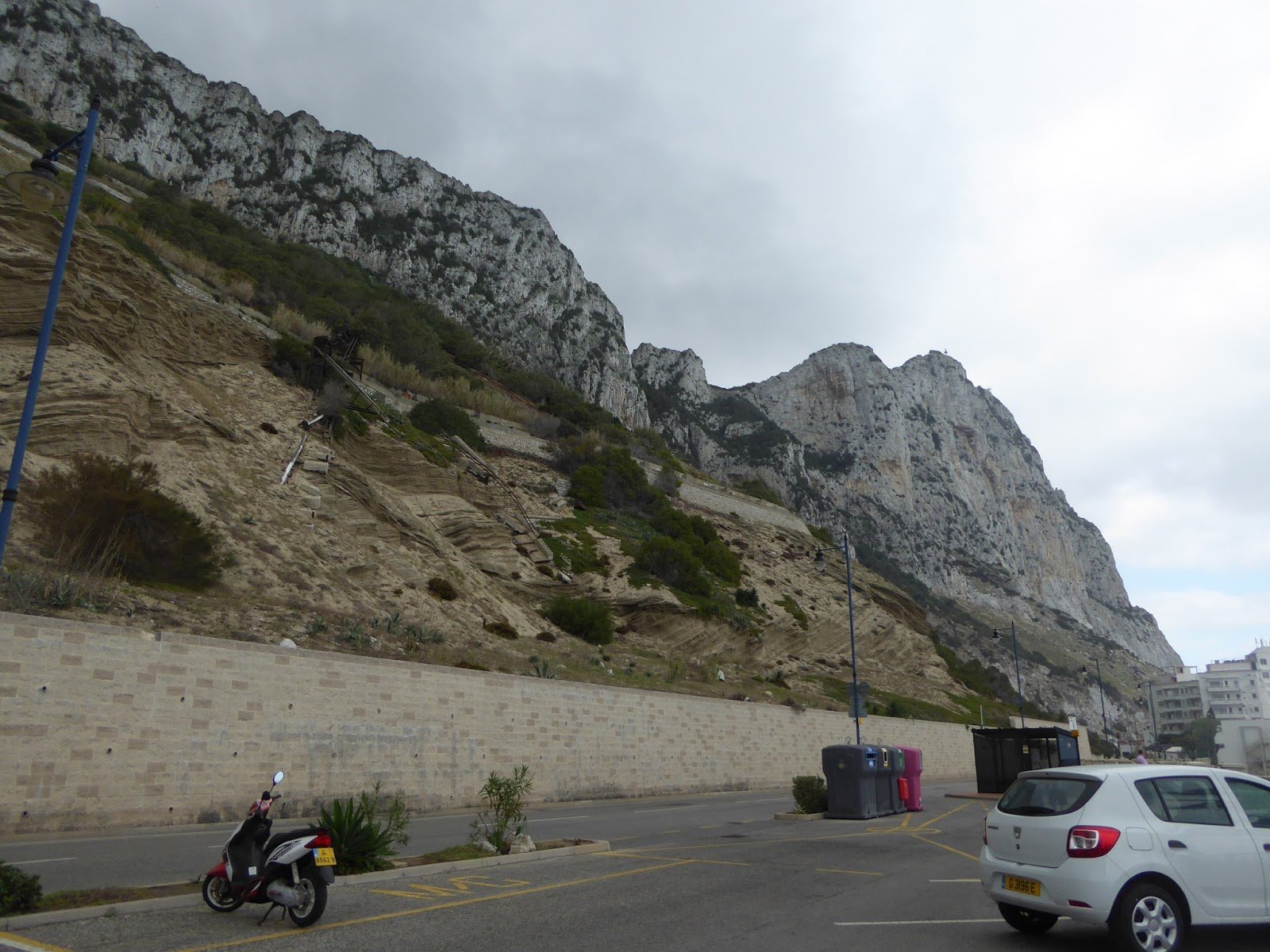
From the east looking up. Picture doesn't capture the size. It looms.
There's a skirt of flatter land around the Rock, with tourist facilities, a biggish town, a port, and various military and tourist installations. Here's one view, taken from the flat isthmus between the Rock and the mainland, on a sunny day, not by me as it was cloudy when we went.
We had an afternoon for the Rock of Gibraltar, and in that short time we drove all the way around it, stopping for lunch on the eastern flank, pausing at the south end for photos, and riding a cable car to the top from the western flank.
We started around on the east.
Funny how these old maps are more expressive than the modern ones.
But I attach a newer one below.
You can see from the old map that Gibraltar is not the closest point to Africa - that would be Tarifa, where we saw the flights of Griffin vultures (see earlier posting). It's just at the very left on the old map. Directly south of Gibraltar, you can see Ceuta, a Spanish possession in Morocco.
Current map
That blue enclosed area on the right is the talus slope;
they call it water catchment, an interesting idea.
Panorama to get the rim of limestone surmounting the talus slope. That slope contains sandstone and shale,
which you can see peeking out of the debris field. Wall to protect the road. Scale way off - the limestone looms big.
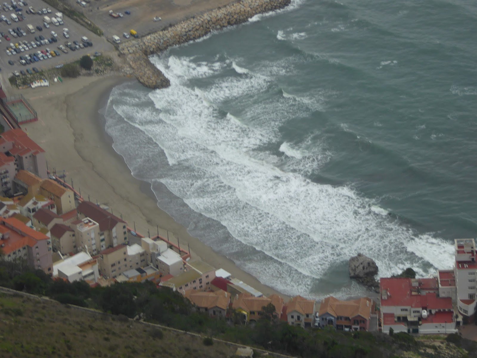
The east side (on the right in the map) looks pretty straight, but it doesn't feel that way. There are shallow bays with tourist cabins, hotels, and restaurants. The waves lapped the shore, there were boats pulled up and a few people wandering on this cloudy November day. We had lunch at an Italian place, sort of - British ownership, Italian-American feel with burgers and pizza - called Michelangelo's.


Then we carried on south toward the point, through a long spooky tunnel coming out near the very southernmost point of land. There is a parking area, a mosque built by Saudis, a crematorium, and a not-obvious radar station. The very point has a lighthouse.


It has a lot of human history, going back to the Neanderthals, and including Islamic occupation, British ownership, naval battles, and WWII. In these boring times of peace, it's a dandy tourist attraction, what with the Barbary monkeys and the cable car up to the drop-off.
The cable car was our next goal after the Point of Europa. It was good, and there were macaques at the top, as well as a terrific view.
Dizzying, swaying, and a bumpy landing
You wanna see monkeys? Here they are!! These guys are Barbary apes, so-called, but they aren't apes. Different, earlier lineage. Did they come with the African conquerers in the 700s? were they there all along, a remnant of a time when the Mediterranean was an enclosed lake and animals could walk across? Hmmm.


The view was also amazing, death-defying. During various wars, soldiers and sailors were tasked with building tunnels through, and lookouts in, the face of the cliff. Scary.


Then we went back to our lovely straightforward hotel, called AC Hotel, a Marriott affiliate, and played rummy and drank wine. Great!
by Nancy


Pretty good grafitti stencils and posters for the International Day of Eliminating Violence Against Women (UN declaration for November 25).